Kom–Emine Trail: A Guide to Bulgaria's Long-Distance Hiking Route
The Kom–Emine Trail is Bulgaria's premier long-distance hiking route, stretching from the western border to the Black Sea along the Balkan Mountains. This guide covers what to expect, how to plan, and the highlights along the way.
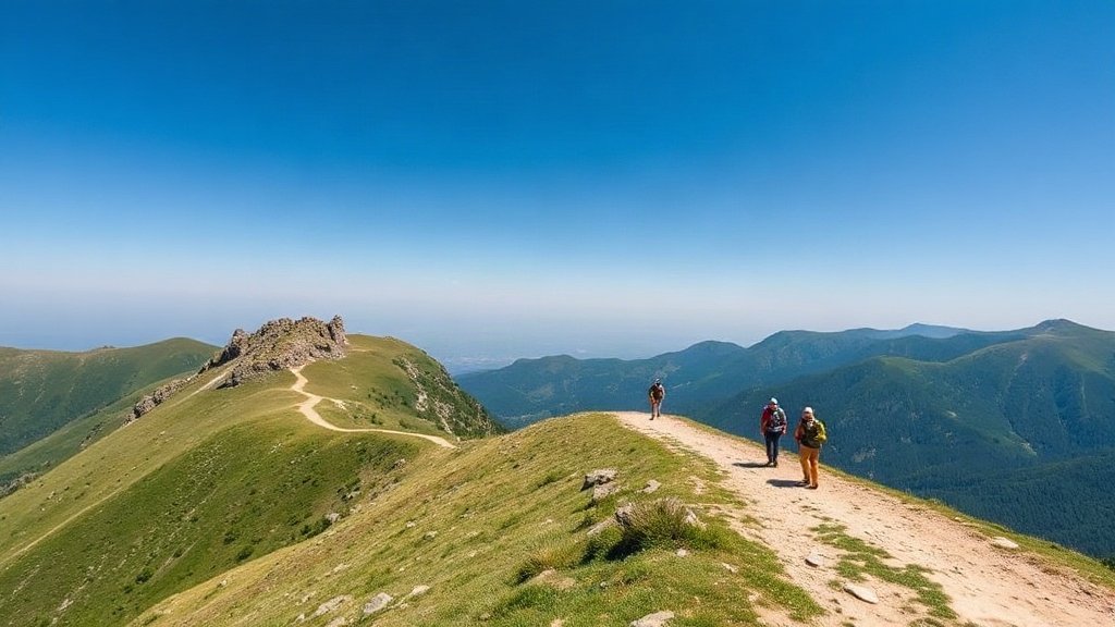
Illustration: AI-generated image
The Kom–Emine Trail is Bulgaria's answer to the great European long-distance paths. It follows the main ridge of the Balkan Mountains (Stara Planina) from Kom Peak, near the Serbian border, all the way to Cape Emine on the Black Sea coast. Covering roughly 600–700 kilometres, the trail passes through some of the country's wildest and most scenic terrain, offering hikers a true immersion in Bulgaria's natural beauty.
The Route at a Glance
The trail is marked with the standard red-and-white blaze used for long-distance routes in Bulgaria. It is typically divided into around 20–25 stages, depending on pace and fitness. Hikers can expect a mix of mountain paths, forest tracks, and occasional road walking. The total ascent is significant—often estimated at over 20,000 metres—so a good level of fitness is required.
Highlights Along the Way
The route takes in several of Bulgaria's most impressive landmarks. In the west, it traverses the Berkovitsa region and the scenic Petrohan Pass. Further east, hikers pass near the imposing peak of Botev (2,376 m), the highest in the Balkan Mountains. The trail also skirts the Central Balkan National Park, a UNESCO Biosphere Reserve, and offers views of deep gorges, waterfalls, and traditional mountain villages.
When to Hike
The best time to attempt the Kom–Emine Trail is between June and September, when the weather is most stable and the mountain huts are open. Spring can be wet and muddy, while winter conditions make the high ridges dangerous. Most hikers take between three and five weeks to complete the entire route, though sections can be done as shorter trips.
Practical Tips
- Accommodation: Hikers usually stay in mountain huts (hizha) or small guesthouses in villages along the way. Wild camping is generally tolerated but not officially permitted in national parks.
- Water: Springs and fountains are frequent in the mountains, but carry a filter or purification tablets, especially in dry periods.
- Navigation: While the trail is marked, a GPS device or offline map app is recommended, as markings can fade in places. The route is also waymarked on OpenStreetMap.
- Resupply: Villages along the route have small shops, but stocks can be limited. Plan to carry several days of food between larger towns.
- Fitness: Expect long days with substantial elevation gain. Prior multi-day hiking experience is advisable.
Getting There and Away
The traditional start at Kom Peak is reached by a short walk from the Kom Hut, which is accessible by road from Berkovitsa. The endpoint at Cape Emine is a few kilometres from the village of Emona, from where you can take a bus or taxi to nearby Nessebar or Burgas. Many hikers also tackle the route in sections, using public transport to reach trailheads.
Whether you're a seasoned thru-hiker or simply looking for a challenging adventure, the Kom–Emine Trail offers an unforgettable journey across Bulgaria's mountainous heart.